Información do patrimonio
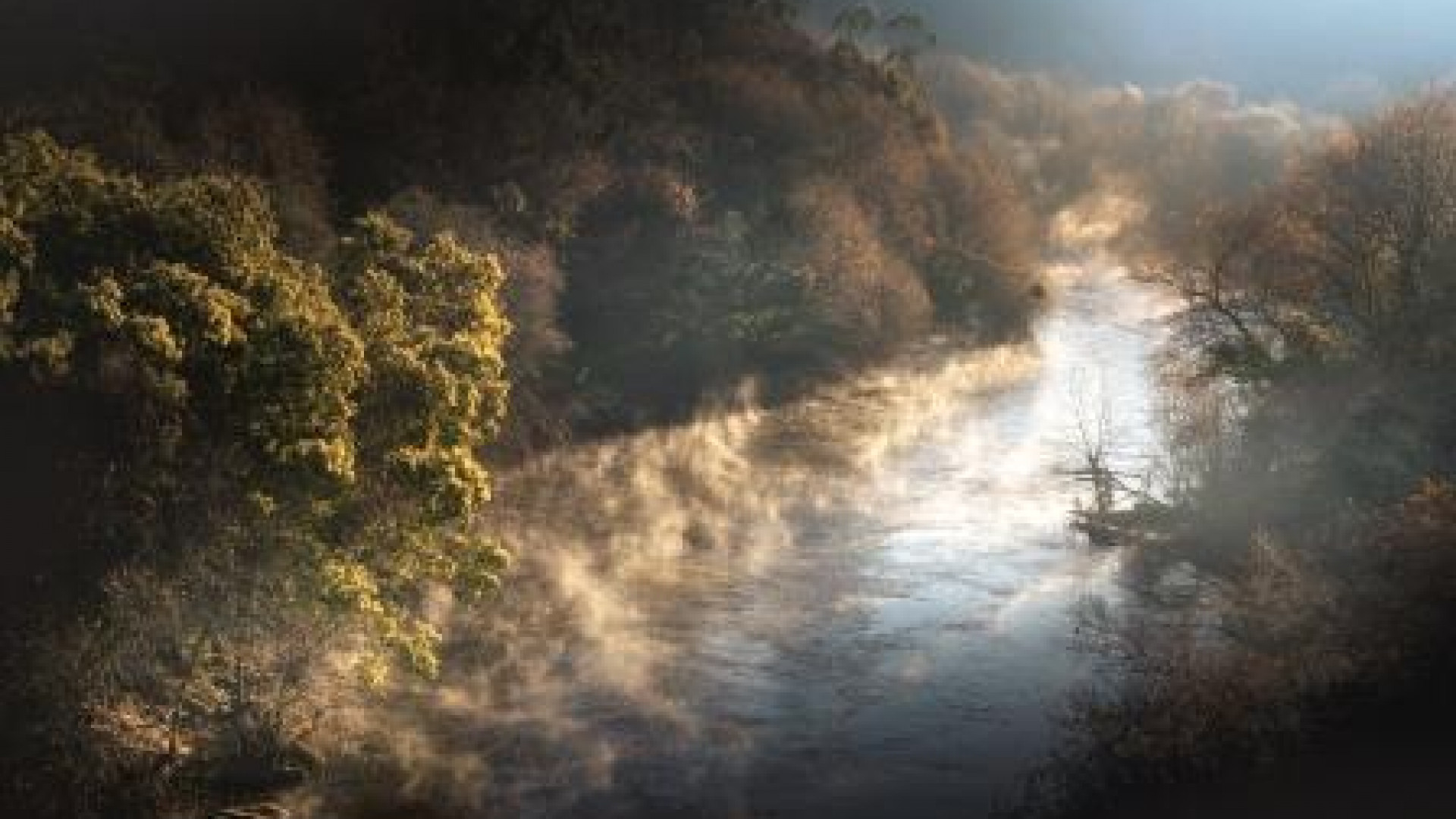
The source of the River Ulla is in the region of A Ulloa, and it flows into the Ria of Arousa, running 130 km, part of runs along the southern border of the Municipality of Teo; it also forms a natural border between Teo and A Estrada, in the provinces of A Coruña and Pontevedra, respectively.
The Natura Network is a network of protected natural areas at the European Union level, and which seeks to protect the natural habitats and the flora and fauna that inhabit them, as well as the long-term biodiversity.
The Ulla-Deza River System has been recognised as a place of community importance of the Natura 2000 Network since 2004, not only does it run through municipalities in the province of A Coruña (Touro, Boqueixón, Vedra, Teo, Ames, Brión, Rois, Padrón, Dodro and Rianxo), but also municipalities in the province of Pontevedra (Catoira, A Estrada, Pontecesures, Silleda, Valga and Vila de Cruces).
Its uniqueness lies in the ecosystem that is established on the riverbanks, with highly particular species of vegetation that harbour or shelter insects, birds and also mammals highly adapted to this water system and flow variation. As it skirts Teo, the Ulla riverbank Teo runs alongside the parishes of Teo and Reis, and there are hiking trails along the banks that allow you to enjoy the protected habitats. We ask visitors to show the utmost respect for the rules of each space.